Thinking about a move to Tualatin and wondering what daily life really feels like? If you care about easy access to parks, miles of trails, and a relaxed suburban rhythm, you will likely feel at home here. In this guide, you will learn how the river shapes recreation, where to walk or bike, where locals shop and dine, how most people get around, and what housing options you will find. Let’s dive in.
Tualatin at a glance
Tualatin sits in Washington County on the Tualatin River, bordered by Tigard, Lake Oswego, West Linn, Sherwood, and Wilsonville. The city blends residential neighborhoods with retail, services, and light industrial areas. Many people live here and commute across the Portland metro, while others work locally. You can explore city services, maps, and community updates on the City of Tualatin site.
If you want a quick demographic snapshot, the latest population estimates and commute patterns appear on U.S. Census Bureau QuickFacts. Use that as your baseline when you compare suburbs across the west side.
Parks and river life
On the Tualatin River
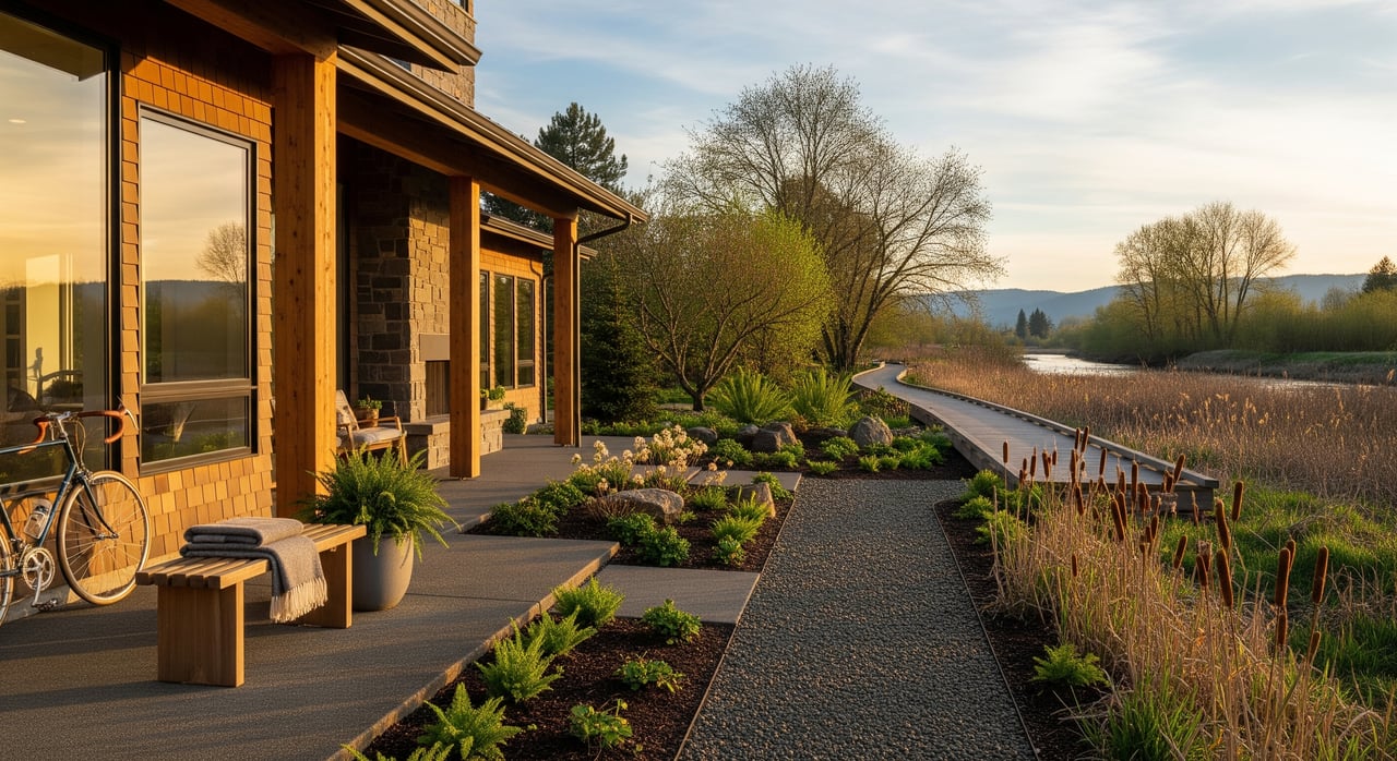
The Tualatin River is the heart of local outdoor life. Calm stretches are popular for paddling, birdwatching, and quiet fishing where public access is provided. Community partners organize stewardship and education programs that help keep the river healthy. You can learn about access, outings, and volunteer events through Tualatin Riverkeepers.
Wildlife refuge nearby
A short drive connects you to protected wetlands and easy, family-friendly trails at the Tualatin River National Wildlife Refuge. It is a favorite spot for wildlife viewing and seasonal walks, and it gives you a taste of nature close to home without a long trip.
River seasons and safety
Winter brings more rain, which can mean higher water on the river and softer trail conditions in low areas. Parts of the river corridor sit within regulated floodplains and sensitive wetlands. If you are eyeing a river-adjacent property, use the FEMA Flood Map Service Center and city planning resources to understand flood zones and insurance considerations before you write an offer.
Trails you will use
River greenway and local loops
Tualatin’s local riverfront trail segments and neighborhood connectors make quick walks and bike rides part of daily life. City maps show multi-use routes, park-to-park connections, and where you can link to regional paths. Start with the city’s park and trail resources on Tualatin Parks & Recreation.
Fanno Creek Trail connections
The Fanno Creek Trail is a multi-jurisdiction route that runs through parts of southwest Portland and Tigard and connects to the Tualatin area. Many residents use it for weekend rides and relaxed evening walks. For broader regional trail context and planning updates, check Oregon Metro.
Biking and walking for errands
Short trips to a local park, a coffee shop, or a neighborhood market are common by bike or on foot. Multi-use paths link into sidewalks and local bikeways, which helps you string together low-stress routes. If you prefer a car-light lifestyle, mapping your usual destinations along these trails will pay off.
Parks for everyday play
What to expect in parks
You will find community parks with sports fields, playgrounds, picnic shelters, and sometimes dog or skate areas. Neighborhood parks offer smaller play spaces, shade, and easy loops for a quick walk. Natural areas along the river let you slow down and watch for wildlife.
Events and seasonal programs
Warm months bring outdoor concerts, farmers markets, and family events hosted by the City and local partners. Schedules vary year to year, so browse the City’s announcements and calendars on the City of Tualatin site when you plan your summer.
Shopping and dining
Bridgeport Village
Bridgeport Village is the region’s go-to lifestyle center for shopping, dining, and a cinema in an outdoor, pedestrian setting. It draws visitors from across the metro, which adds energy and options close to home. Explore current retailers and events at Bridgeport Village.
Downtown and Nyberg corridors
Downtown Tualatin offers small-scale shops, restaurants, and services that cover daily needs. Larger commercial corridors near Nyberg add grocery stores, banks, medical clinics, pharmacies, and fitness centers. You can take care of most errands within a short drive, and many neighborhoods are a quick bike ride from coffee and casual dining.
Getting around
Highways and driving
Tualatin sits near key regional corridors, which makes it practical if you commute to Beaverton, Tigard, downtown Portland, or Wilsonville. Residents often use interstate and state highways to move around the west side. For traffic and construction updates, use the Oregon Department of Transportation site.
WES and TriMet buses
If you prefer transit, the WES Commuter Rail serves weekday riders between Beaverton and Wilsonville, with a stop that serves Tualatin. Many commuters combine WES with local bus routes or a short drive for the last mile. Check schedules and station maps on TriMet’s WES page.
Active transportation options
A growing network of multi-use trails and neighborhood bikeways makes local trips by bike realistic. You can plan routes that avoid major streets and connect to parks, shopping, and transit. City and regional maps through Tualatin Parks & Recreation and Oregon Metro help you chart the best path.
Homes and neighborhoods
What you will find
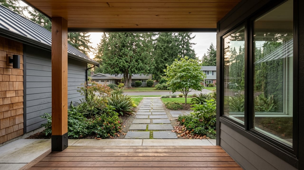
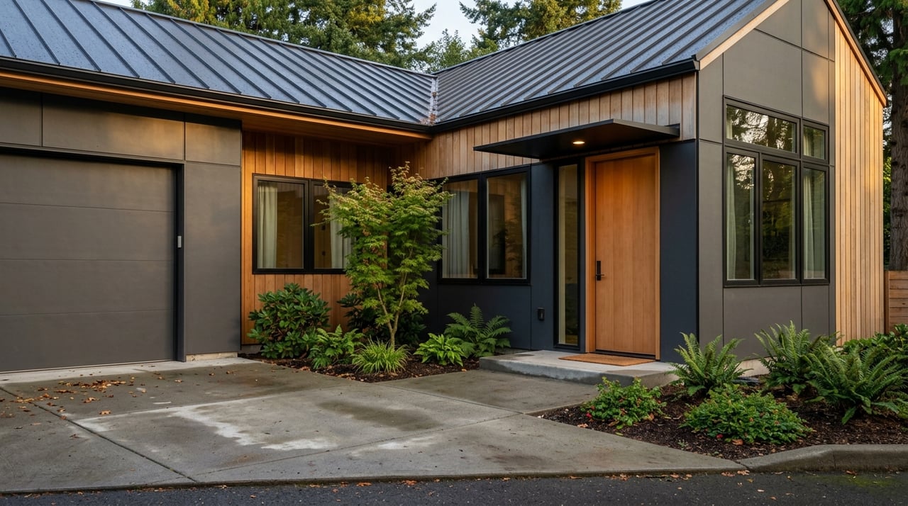
Tualatin offers a mix of housing types across different eras. Near downtown, you will see older single-family homes with bungalows and craftsman styles, along with post-war ranch houses. Suburban subdivisions add newer single-family options, and you will find townhomes and apartment communities closer to major corridors and services.
Lot sizes vary. Older neighborhoods may have smaller infill lots with a walkable feel, while later subdivisions often feature larger suburban lots. Density typically increases near shopping areas and transit stops.
Buyer and seller tips
If you want to live near the river, factor floodplain location into your due diligence. Review the FEMA Flood Map Service Center and ask the City about permits or restrictions before you plan additions or backyard projects. In newer subdivisions or mixed-use communities, check HOA rules early to understand exterior standards and maintenance obligations.
For buyers, it helps to compare the trade-offs between an older home with character and a newer build with lower immediate maintenance. My approach is construction-informed, so we will translate inspection findings into clear next steps, from roof life to sewer scopes to cost ranges for kitchen or bath updates. For sellers, a focused repair list and smart cosmetic improvements can speed timelines and protect your net.
Daily life snapshots
- Saturday morning: Paddle a quiet stretch of the Tualatin or walk the refuge trails, then grab coffee and lunch at a local spot. If you need a few things, Bridgeport Village is a short hop away.
- Weekday commute: Drive or use WES to connect to Beaverton or Wilsonville, then take a bus or short walk to the office. If you work from home, mid-day trail loops break up the day.
- Evening routine: Bike a local greenway, take the dog to a nearby park, then meet friends for dinner. Weeknights feel easy and flexible because parks and services are close.
Is Tualatin a fit for you?
If you want a suburban base with a strong outdoor thread, Tualatin gives you calm river access, practical shopping, and a mix of housing choices. Trails and parks shape daily life, and regional connections keep your commute options open. When you are ready to compare neighborhoods, homes, and renovation trade-offs, it helps to have a local advisor who can walk you through floodplain checks, HOA rules, and inspection realities.
If you are considering a move to Tualatin, let’s talk through listings, neighborhood fit, and a plan tailored to your routine. Schedule a free consultation with Josh Halemeier - Main Site.
FAQs
What should I know about Tualatin’s location if I am new to Oregon?
- Tualatin is a suburban city in Washington County on the Tualatin River, and the City of Tualatin site is the best starting point for maps and services.
Where can I find the latest Tualatin population and commute data?
- The most current estimates and community stats are updated on U.S. Census Bureau QuickFacts.
What are the best ways to access the Tualatin River for paddling?
- Review city park maps and outings hosted by Tualatin Riverkeepers to find public put-ins and guided events.
Does the Fanno Creek Trail connect Tualatin to other cities?
- Yes, it is a multi-jurisdiction trail through parts of southwest Portland and Tigard that links to the Tualatin area, and Oregon Metro provides regional trail context.
Where do locals shop and catch a movie in Tualatin?
- Many residents head to Bridgeport Village for national retailers, restaurants, and a cinema in a pedestrian setting.
How can I commute without a car from Tualatin?
- The WES Commuter Rail serves weekday riders and connects with bus routes; check schedules and station maps on TriMet’s WES page.
Should I worry about floodplains when buying near the river in Tualatin?
- Yes, always verify a property’s flood zone on the FEMA Flood Map Service Center and consult city planning resources before you finalize your offer.